


 |
| Sapphire Falls in Rancho Cucamonga |
Showing posts with label san Gabriel mountain hikes. Show all posts
Showing posts with label san Gabriel mountain hikes. Show all posts
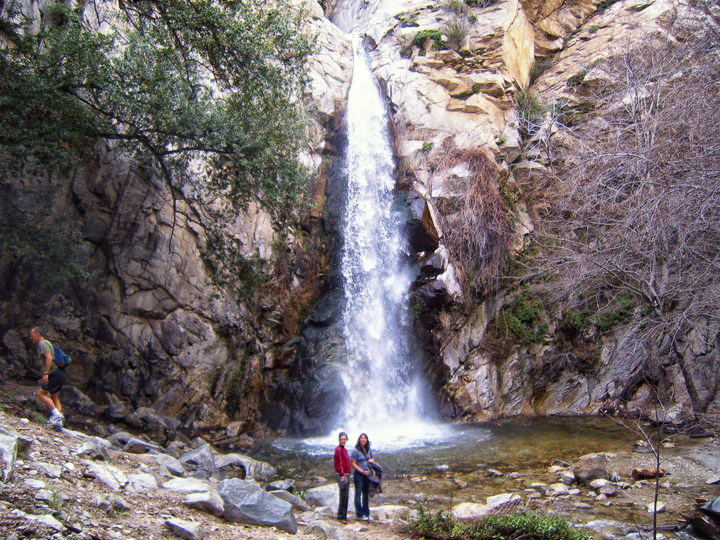
Sapphire Falls. The worst hike in Southern California

John Muir: The Yosemite
 |
| John Muir: The Yosemite |
John Muir. The Yosemite
John Muir: The Mountains of California
John Muir: My First Summer in the Sierra
John: Muir Steep Trails California, Utah, Nevada, Washington, Oregon, the Grand Canyon
Bridge to Nowhere: Azusa California
 |
| Bridge to Nowhere, Azusa California |
The Bridge to Nowhere is a mandatory Southern California
hike that follows the east fork of the San Gabriel River to a lonely bridge
that leads nowhere. The hike is relatively easy when the water levels
are low, but it can quite treacherous in the spring. When it’s running chest high, a lot of hikers
give up at the first crossing. The trail
is approximately 9 miles round trip and parallels the river for the most of the
distance until heading up the east bank for the last mile or so to the bridge. To avoid getting lost, stay to the right on the
river for most of the hike. My favorite time to hike to the bridge is in the
late spring when the river is unruly and the crowds are thin. I usually end up
dumping water out of my boots a half dozen times, but the solitude is worth it. This hike is insanely popular in the summer.
In the summer, you can actually bungee jump from the bridge.
Reservations can be made here
Trailhead: From the 210 in Azusa, exit on Azusa Ave
and head North towards the mountains. After about ten miles, turn right on East
Fork Road and continue for 8 more miles to the East Fork Station. East Fork Road turns into Camp Bonita Road
which dead-ends at the parking lot.
Sturtevant Falls
 |
| Sturtevant Falls, Sierra Madre California |
Sturtevant Falls is located a few miles North of Sierra
Madre California in Big Santa Anita Canyon. The Canyon looks like something
straight out of a storybook. It’s filled with cabins, oak trees, rambling
brooks, stone walls and picturesque cabins.
If you’re lucky, or unlucky depending on how you look at it, you might
even run into a black bear. If magic really exists in the world, you’re most
likely to find it in this canyon.
The hike to the falls is approximately 4 miles round-trip
from the parking area at Chantry Flats. The trail to the falls is wide, well
maintained and usually very busy. Chantry
Flats also serves as the starting point for the Mount Wilson trail, the Mount
Zion trail, the Gabrielino Trail, Hermit Falls, Hoegees Camp, the Spruce Grove Camp and the Santa
Anita Canyon Loop. Sturtevant Falls is one of the few waterfall hikes in Southern California
where pets are permitted, so the trails here attract everyone from families to
hardcore backpackers, but most of the casual hikers confine themselves to the
Sturtevant Falls trail.
Monrovia Canyon Falls
 |
| Monrovia Canyon Falls |
Eaton Canyon Falls

Dont attempt to hike to the top of the waterfall unless you have a deathwish.


